Happy holidays, everyone! We’re currently traveling and visiting family, so I haven’t made any new progress this week — but there’s still plenty to talk about…
One of the biggest factors that inspired us to build Mapkind GPS was the need for a GPS app that could gracefully manage unreasonably large amounts of recorded data — without crashes, hiccups, or performance degradation.
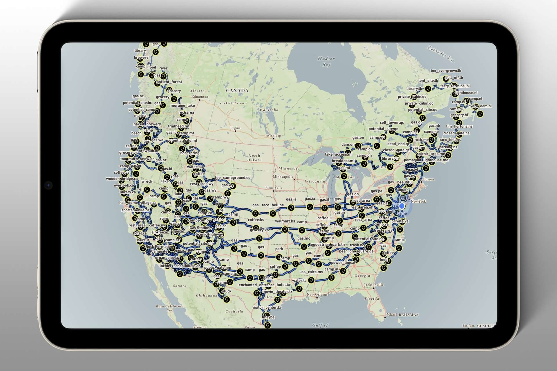
Over the course of six years, I traveled throughout the United States and Canada and collected 7,667 waypoints and 8,969 track logs consisting of 10,121,306 points, which served as an ideal (yet cumbersome) payload for testing and optimization.
Mapkind GPS has to be able to easily and efficiently ingest, synchronize, manage, and ultimately render such large volumes of user-recorded data.
Loading all of this into memory for simultaneous rendering wasn’t viable, as the pressure would cause the app to crash on most devices. To remedy this, we utilize vector map tiles, so throughout the lifecycle of the app, rendered data lives on disk — not in the device’s memory.
The result is a silky-smooth and stable experience.