When it comes to GPS app development, routes are an essential part of the data model trifecta: waypoints for marking locations, track logs for where you’ve been, and routes for where you want to go.
This has been the most challenging part of developing Mapkind GPS. Everyone who plans routes has wildly varying needs, expectations, and workflows, so we have to build something that’s both intuitive and flexible. It’s the biggest UX challenge by far, as I don’t think there’s a single shining example of a GPS app that does it perfectly — but a few do it very well.
So as we progress, we’re asking ourselves, “How can we implement routes in a way that makes us really want to use them?”
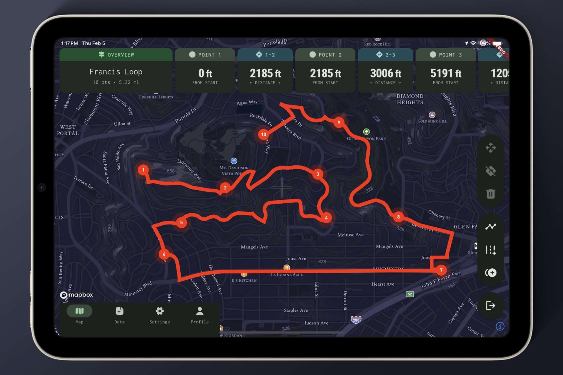
As far as route planning goes, we’re starting with the fundamentals. We’ve got gesture-based manipulation; precision append, prepend, and move-point actions; deletion; point and segment selection; snap-to-roads; zoom-to-feature; and distance metrics.
Once we’ve nailed down the core features, we’ll bring new ideas — and some essential enhancements — to the table.
To be continued!