The last time I took the app out for testing, I promised myself I’d implement a way to manage the visibility of stale or legacy GPS data — information you absolutely want to keep for archival and occasional reference, but don’t necessarily want cluttering your map.
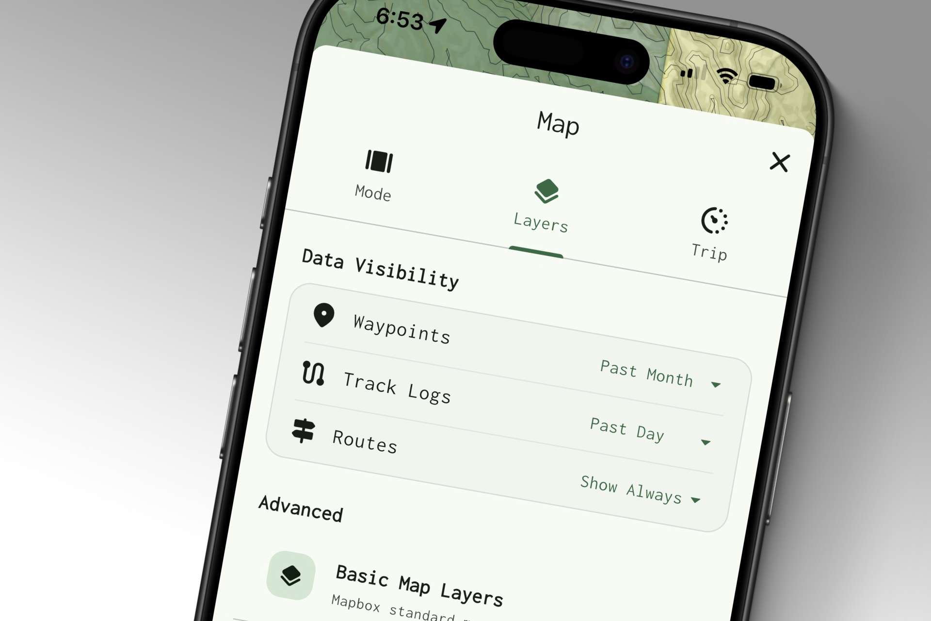
Introducing temporal visibility settings in the Map Layers view.
Now, for each entity type, you have the option of “Show Always,” which is the default; then temporal options to show only data recorded in the past day, week, month, or year — or “Show Never” if you want to completely disable visibility for an entity type.
Aside from this new feature — and the addition of haptics and audio feedback for route checkpoints — this past week was mostly spent on visual refinements, bug fixes, and optimizations: all of the little things that have a knack for piling up!